Using drones for faster decision making and detailed data collection in different sectors
Description
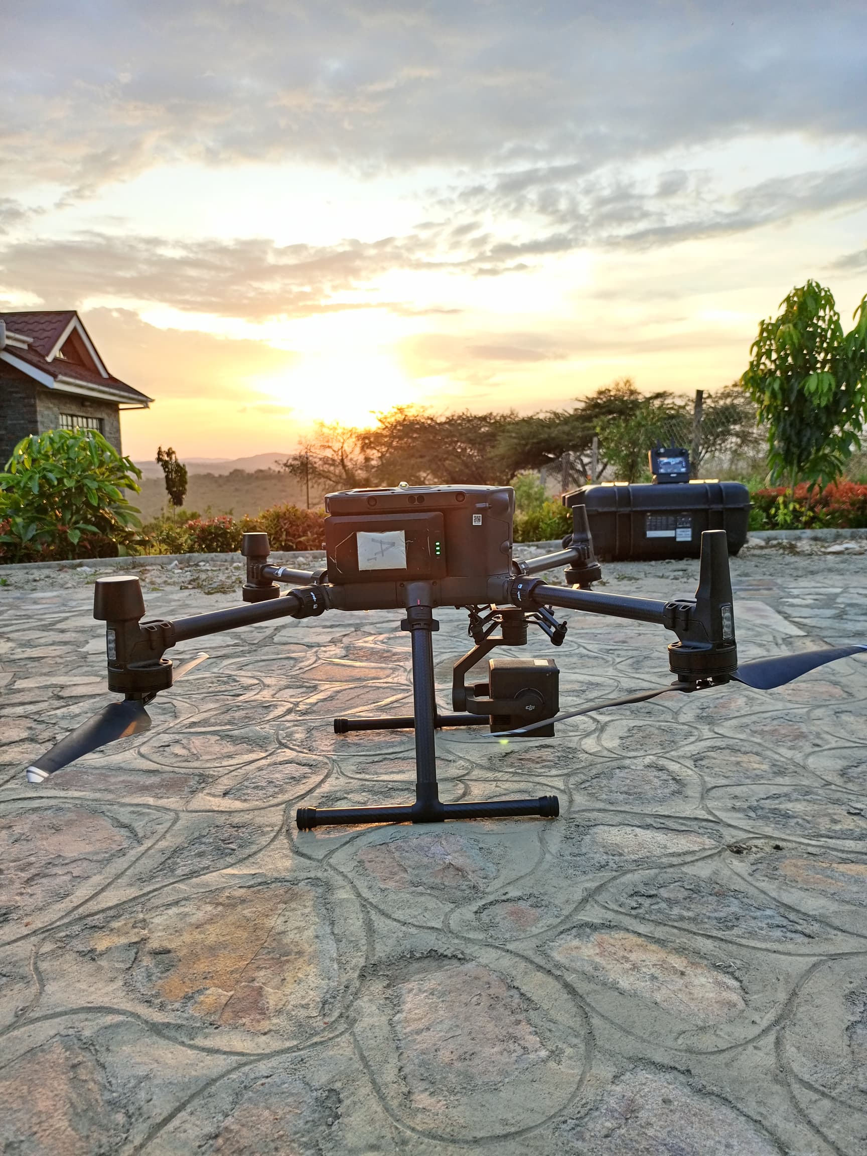
Using drones to collect farm data to analyze it and predict yield estimation,spraying and watering crops NDVI, methane data collection in cattle corridors and comply with EUDR regulations on deforestation. Use drones to map out cities for urban planning, feasibility study on roads and power lines.obtaining topographic maps for surveyors and architects in a very short period. Mineral traceability using magnetometers and obtaining high resolution orgjomosaic images
Impact
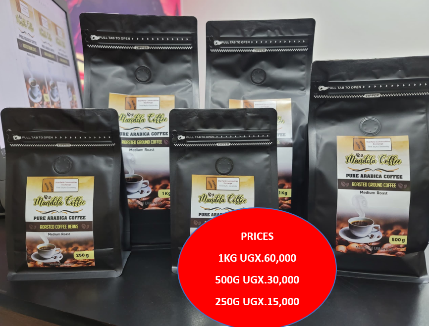
Job creation as on big projects ...we use a big team to deliver. increased farm yields due to quick spraying, reduction in resource wastage Mineral Discovery which leads to development of an area Reduction on farm emissions that contribute to climate change.this is addressed after identifying emissions on farm and advice better farming practices The data is from tagged and therefore is proof that can be used during exportation of farm products like coffee, cocoa
Target Audience
Farmers,city planners,NGOs dealing in emission traceability,surveyors
Industrial Value Chains
Partnerships
Partnership / Collaborative (joint ownership between individuals and institutions, or across multiple partners)
Innovation Details
June 5, 2024
Contact Information

Related Innovations
DripMate COMBO
Linda Willis • 5 months agoBiodigester that take in Human Waste fro...
Augustine Oluga • 5 months ago - Kiggala Jessy.JPG)
Field Eyes
Kiggala Jessy Sean • 5 months ago