Geo-Insights for Climate-Smart Land Management (GeoCLIM): Using Satellite Data to Monitor Land Use and Biodiversity in Oil-Affected Ecosystems of Western Uganda
Description
GeoCLIM is an innovative geospatial platform developed by the Geospatial Research Forum (GRF) that uses satellite data and machine learning to monitor land use, land cover, and ecosystem health in oil-affected areas of Uganda’s Albertine region. The tool provides real-time insights on deforestation, wetland degradation, and agricultural shifts, supporting evidence-based decision-making for environmental conservation and sustainable land management.
Impact
GeoCLIM strengthens climate resilience by helping local governments, researchers, and communities identify environmental changes early and plan sustainable interventions. It supports smallholder farmers in optimizing land use and protecting natural resources, thereby enhancing food security and income stability. The innovation also contributes to improved environmental governance by providing accessible, data-driven tools for policymakers, NGOs, and educators. Economically, it reduces the costs of field monitoring and enhances productivity through better land use planning and restoration efforts.
Target Audience
Local communities and farmers in oil-affected areas of Hoima and the Albertine region. Environmental and agricultural agencies at district and national levels. Conservation NGOs and research institutions. Students and young innovators engaged in geospatial and environmental studies.
Industrial Value Chains
Partnerships
Institutional / Organizational (owned or managed by a university, company, NGO, or government agency)
Innovation Details
August 3, 2025
Contact Information

KASHOBOROZI JAMES
Related Innovations
Driving Sustainable Change for a Greener...
Gloria Kyarisiima • 5 months ago
Increasing feed conversion into milk and...
AGABA AMPIIRE • 5 months ago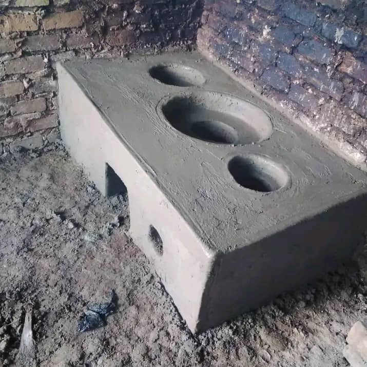
It's a local fuel saving stove made out...
John vianney Nowembabazi Mukisa • 5 months ago